UPDATE
(5.10.2026 – USGS) An aftershock of magnitude 4.4 occurred on 5.10.2026 at 20.17 Sumba Time.
A magnitude 6.1 earthquake struck off the coast of Southwest Sumba Regency in Indonesia’s East Nusa Tenggara province early Sunday morning, rattling residents across the island and leaving a trail of damaged buildings in its wake.
Earthquake M ≥ 5
Details from official seismic bulletins. Always follow local authority guidance. Source: BMKG
The shallow tremor hit at 6:55 a.m. local time (GMT+8) on October 4, 2026. According to the Meteorology, Climatology, and Geophysics Agency (BMKG), the epicenter was located at sea, about 14 kilometers west of the Kodi District in Southwest Sumba, at a depth of 10 kilometers.
While the German Research Centre for Geosciences (GFZ) separately estimated the magnitude slightly lower at 5.9 and localized the event broadly in the Sumbawa-Sunda region, Indonesian authorities confirmed the main shock was strong enough to trigger widespread shaking that lasted roughly a minute across Southwest Sumba, West Sumba, and West Manggarai.
Despite the intensity of the shaking, officials quickly confirmed that there is no tsunami potential. However, the quake’s shallow depth brought a heavy impact on local infrastructure.
Southwest Sumba Regent Ratu Ngadu Bonu Wulla headed directly into the field to assess the damage, noting that preliminary reports point to many compromised and damaged structures.
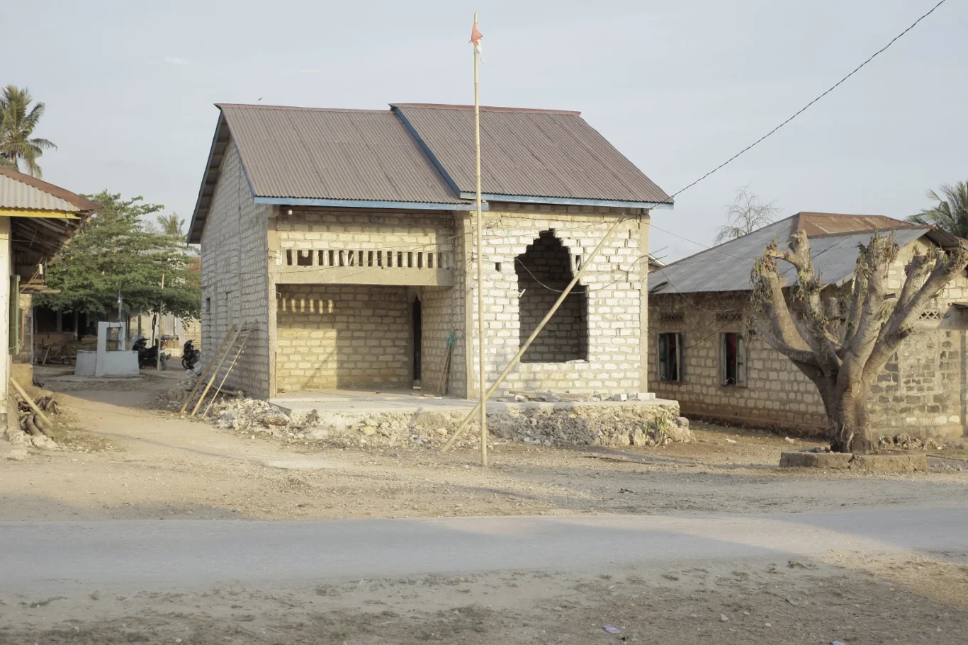
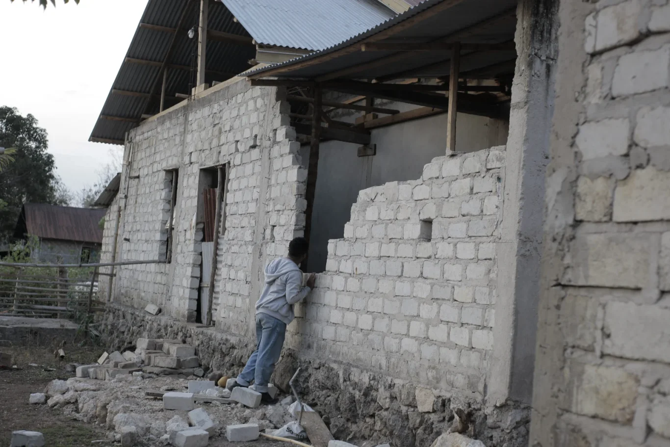
Residents in Kodi District reported severe house damage, with cracked walls and collapsed masonry in villages such as Pero Batang.
Reflecting on the terrifying moments, one Kodi resident shared, “It lasted very long and felt like it would never end.” Capturing the weary sentiment of those in the region, a resident from Waikabubak noted, “Not unexpected, we are on an earthquake zone and we are prepared. It still came as a shock for all of us.”
In Tambolaka District’s Kalena Wano Village, locals described hanging items swinging violently, triggering nausea and forcing families outdoors as dozens of minor aftershocks followed the main event.
Tremors were also felt broadly across neighboring areas, including Central Sumba, where residents fled their homes in alarm.
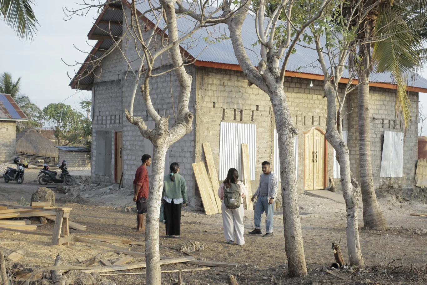
Local disaster mitigation officials, alongside the National Disaster Management Agency (BNPB), are actively gathering data from affected coastal and interior pockets.
As teams work to verify casualties and total structural losses, authorities continue to urge residents to remain calm, avoid cracked or compromised buildings, steer clear of coastal areas in case of unexpected shifts, and rely exclusively on official updates.