The figures come from a marine model and refresh about once an hour. They describe the open water at each coordinate, not the take-off on a reef. Ask someone on the beach before you paddle out or dive.
A modest swell of 0.9 m is coming from the southwest on a 11-second period. Wind is 16 km/h from the southeast — cross-shore at Nihiwatu.
Monday, 2 November 2026 · WITA
Primary swell
Medium-period swell
0.9 m Height of the main swell
SW · 228° 11 sec period From the southwest
- Secondary swell
- 0.6 m · S · 4 sec
- Wind waves
- 0.4 m · SE · 3 sec
- All waves together
- 1.2 m
Three parts of the same sea They can arrive together.
- Main swell Longer waves that have travelled in from a distant storm.
- Secondary swell A smaller set from another direction. Its period is often different.
- Wind waves Short, steep waves raised by the wind on the spot.
At the surface
Weather and wind
Overcast
- Air temperature
- 26°C
- Wind
- 16 km/h from the southeast
- Gusts
- 29 km/h
- Rain
- 0.0 mm
Through the day
Hours on the water
Swell direction is where the waves come from. Current direction is where the water is going. Offshore and onshore are judged from the way each coast faces the sea; a point further along the reef can differ.
In the water
Sea temperature
28.6°C
0.5 km/h toward the northwestOcean current, modelled
Warm sea.
Looking ahead
Wind stays in a similar range
From 06:00 to 18:00 the wind runs from 13 to 19 km/h.
- Cross-shore wind
- 11-second period
- Confirm the entry locally
Wave, sea temperature and current from the Open-Meteo Marine API. Wind, rain and air temperature from the Open-Meteo weather model. This is a model, not a buoy, and not a substitute for a local briefing.
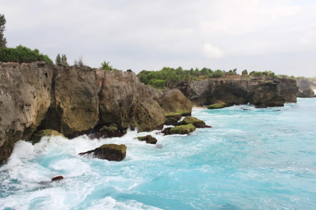
The coast, in pictures
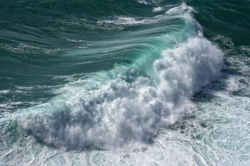
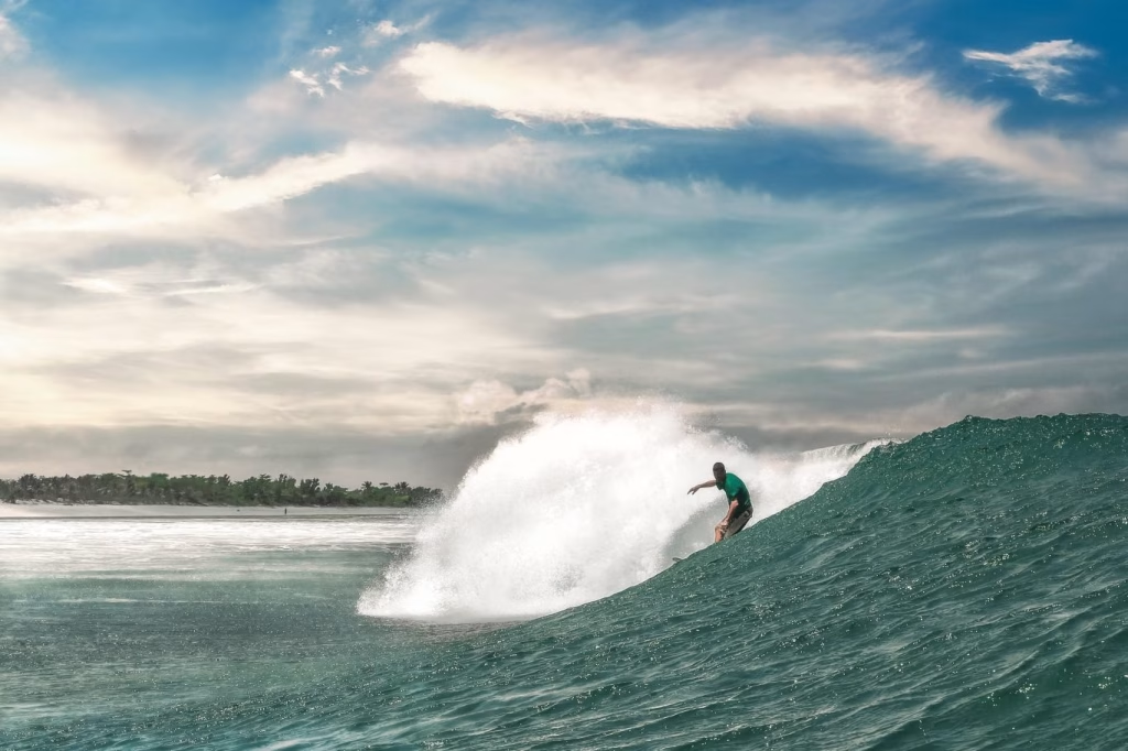
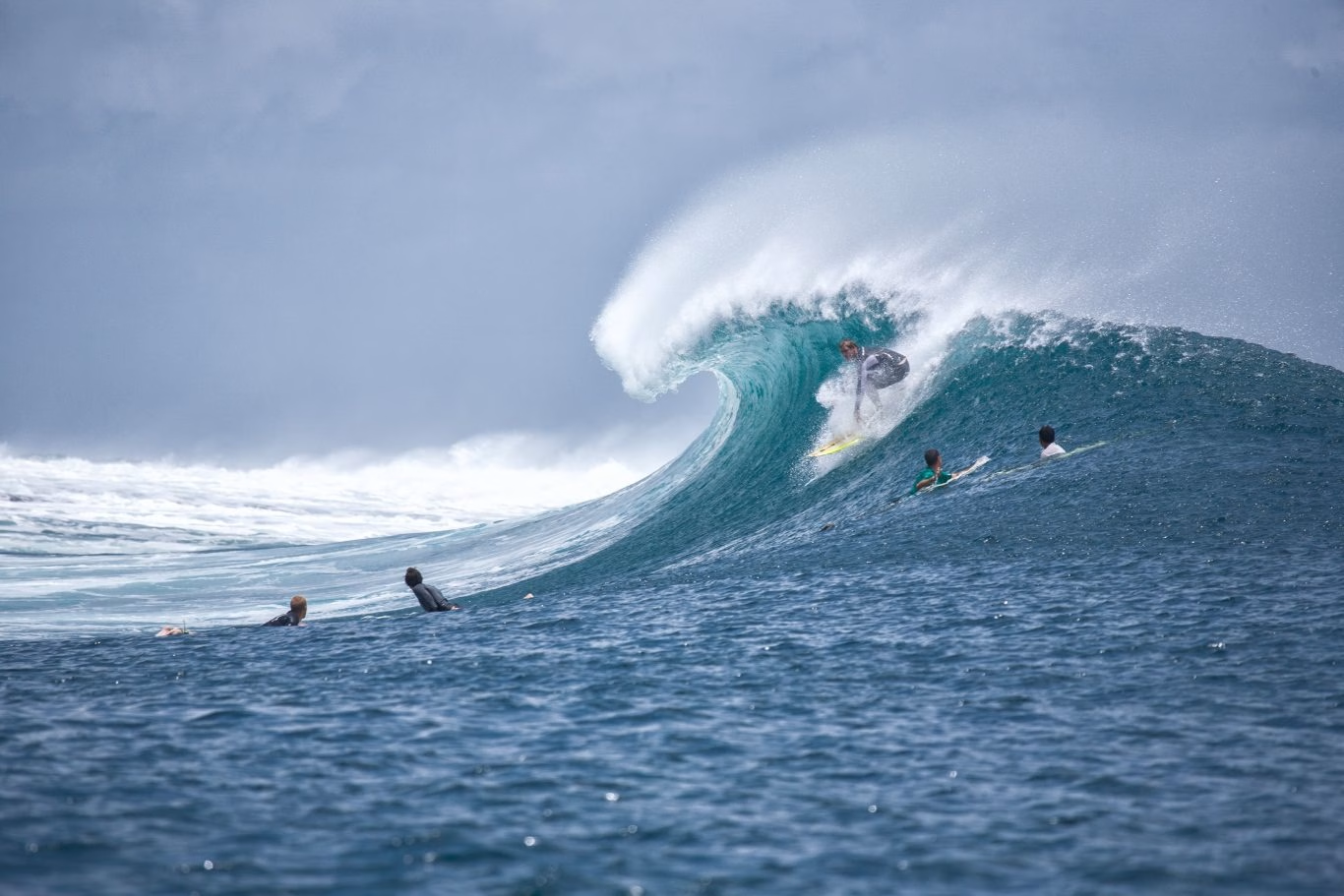
These photographs are from the Sumba.Travel library. They show the shoreline. They are not a picture of the hour in the forecast above.